Learn
In June, Friends of the Verde River’s Shannon Murphy attended the Arizona Geographic Information Council (AGIC) Geospatial Summit. She learned how geographic information systems (GIS) could benefit our work in the Verde River Watershed. The theme “GIS for Good – Mapping with Sensors, Data, and Analytics” provided the structure of the event. GIS tools can find lost people, find invasive species, and detect changes, such as gully erosion, over large areas of land.

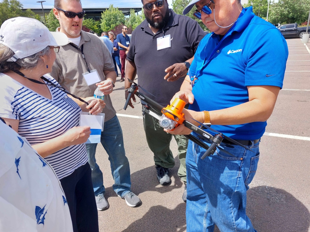
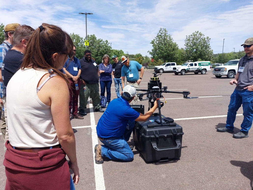
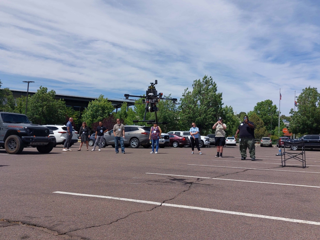
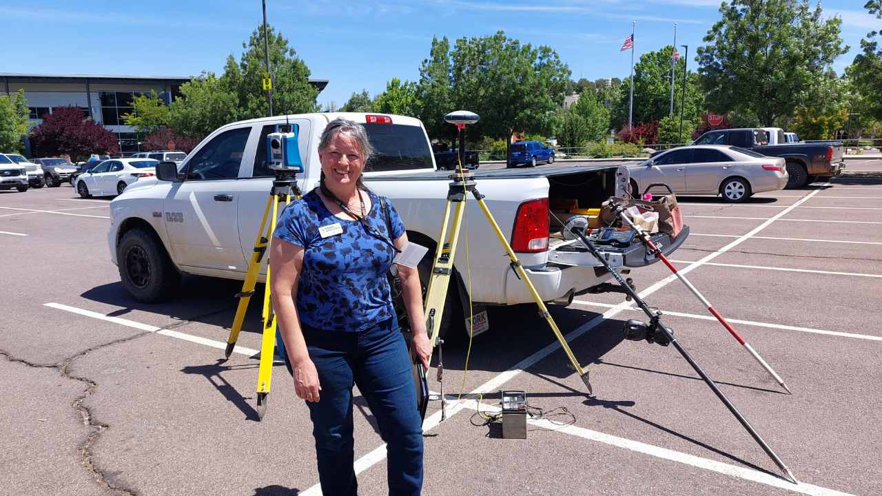
Three field demos highlighted the differences between traditional surveying and drone surveying. The key takeaway was that drone surveying is much faster, but traditional surveying is still the standard for many legal purposes. Besides quick surveying projects, drones can also be a useful remote sensing tool for invasive species detection. In fact, invasive species detection was a hot topic. One example included GeoAI which uses machine learning to determine vegetation from images. In a networking conversation, Shannon learned about dogs trained to detect invasive species. Friends has not used dogs in our work, but the service is available through companies, such as Working Dogs for Conservation. This article provides an in-depth look at this evolving detection opportunity.
The event concluded with the following topics:
- how to get and publish GIS data,
- how to connect with other natural resources professionals,
- an update on Arizona’s Broadband Equity, Access and Deployment (BEAD) Program,
- information about the Northern Arizona Landscape Connectivity Alliance (NALCA) – an organization that addresses connectivity and landscape conservation for wildlife species, such as the pronghorn.


In conclusion, Shannon’s participation in the AGIC Geospatial Summit revealed the immense potential of GIS in our work within the Verde River Watershed. The summit’s theme, “GIS for Good – Mapping with Sensors, Data, and Analytics,” highlighted the versatility of GIS tools, from locating missing individuals to detecting invasive species and monitoring land changes like gully erosion. The event also emphasized the efficiency of drone surveying, especially for rapid projects, while showcasing innovative technologies like GeoAI and trained dogs for invasive species detection. As we move forward, the insights from AGIC will empower Friends of the Verde River in our conservation efforts and collaborations, ensuring a brighter future for the Verde River and its ecosystem.


