Get Involved
The face of the river…was not a book to be read once and thrown aside, for it had a new story to tell every day.
Mark Twain
Get Involved
The Verde River’s Journey through the Watershed
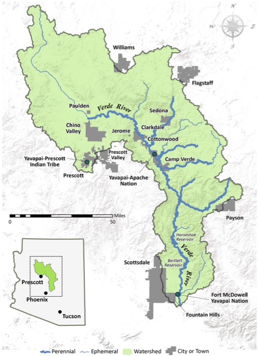
Along its 192-mile course, the Verde River winds through the heart of Arizona’s mountains, highland plains, and desert valleys, gently gliding at times, cascading in rapids at others, and even pausing in two large reservoirs in its lower reaches.
The Verde River’s headwaters are north of the Prescott-Quad City area in Arizona’s Central Highlands, near the rural community of Paulden. The river emerges from groundwater as a series of springs in the remote, rugged canyons downstream of the Big Chino Wash and Sullivan Lake.
Promptly, intermittent (seasonal) Granite Creek joins the Upper Verde River and river continues to wind through remote red-rock canyons, creating a lush riparian corridor as it goes. A gem of the upper reaches of the river is the Upper Verde River Wildlife Area, which contains excellent habitat for native flora and fauna and has relatively good public access in such secluded country.
Further downstream, many perennial (year-round) tributaries such as Sycamore Creek, Oak Creek, Wet Beaver Creek, and West Clear Creek, along with ephemeral (rain-dependent) washes, flow into the Middle Verde River. The Verde Valley gets its name – “verde” translates to “green” in Spanish – from the green ribbons of life sustained by the many flowing waters of the Middle Verde’s Watershed.
Downstream from the Verde Valley, a 40.5-mile stretch of the Lower Verde River is designated as a National Wild and Scenic River, one of only two such designations in Arizona. The other was given to Fossil Creek, another of the Verde’s perennial tributaries, which joins the river in this stretch.
Beyond there, around 137th mile, the Lower Verde’s flow collects in two major reservoirs, first behind Horseshoe Dam and a bit further downstream, Bartlett Dam. The river then departs to join the Salt River north of Mesa, Arizona. The Verde River supplies approximately 40 percent of the surface water that Salt River Project delivers annually to Phoenix-area residents for municipal and agricultural use.
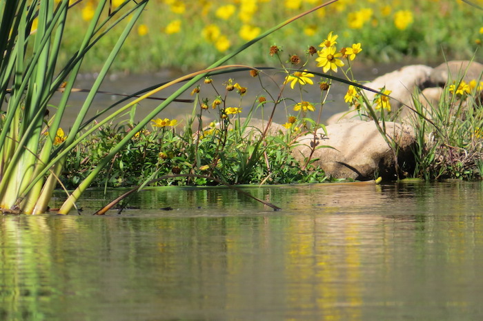
The Middle Verde River, photo by Marianne Davis
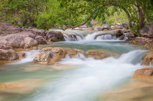
Fossil Creek is a perennial tributary of the Verde River. Fossil Creek at Fossil Springs, photo by Valerie Millett.


